Landsat-9: Nasa have launched a new super satellite, but what is it for?
- Published
- comments

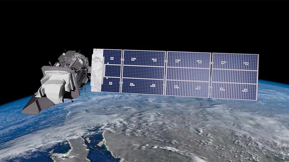
An artist impression of the new Landsat-9 in Earth's orbit
Nasa have launched a new high-tech satellite into Earth's orbit, which will capture incredibly accurate images of our planet and how it has changed over time.
The Landsat-9 is the latest in a series of Earth-observing spacecraft, the first of which was launched in 1972.
Over the last 50 years, the previous Landsat models have given us an amazingly clear pictures of how the Earth is being impacted by climate change and natural disasters, with the newest in the series being able to provide even more detail and accuracy.
The pictures taken already will be compared to new images, and will allow scientists to track the world's changing coastlines, farming patterns, deforestation and growth of urban towns and cities.
An image taken from the Landsat of a giant iceberg as big as Greater London breaking away from Antarctica
These pictures can then inform governments or environmental organisations on steps to take to help the planet.
"We've assembled an amazing history of how the planet has changed over the last half century," explained Dr Jeff Masek, Nasa's Landsat-9 project scientist.
The rainy weather in California cleared shortly before lift-off so that everyone could see Landsat-9's Atlas rocket leave the launch pad via video stream.
The satellite was launched on an Atlas rocket from Vandenberg Space Force Base in California on Monday and will orbit at an altitude of 700km above the Earth's surface.
The Landsat programme has been providing satellite imagery for 50 years but is very expensive to keep working.
Large blooms of phytoplankton form in the waters off the southwest coast of the UK
Landsat-9 is expected to cost almost $1billion over the course of it's life, while there are some companies who are able to send satellites into space for a fraction of that.
However, the pictures the Landsat programme send back to Earth are free and available for anyone to study, whereas privately owned satellites will charge a lot of money for the images they collect.
Changing coasts: Ocean Flower Island, an artificial landform built in China's Yangpu Bay
The Landsat-9 is so powerful, it can even keep track of the behaviour of animals, and has monitored wombats, woodpeckers and walruses in the wild.
It can also help countries recover after major natural events like floods or volcano eruptions.
The Landsat satellites have been tracking the deforestation of the Amazon.
"We're able to see the natural disturbances that occur, (such as) fires, hurricanes, and insect outbreaks; and then the long-term recovery of ecosystems that takes place for decades after that," said Dr Masek.
- Published28 September 2021
- Published27 September 2021
- Published27 September 2021
