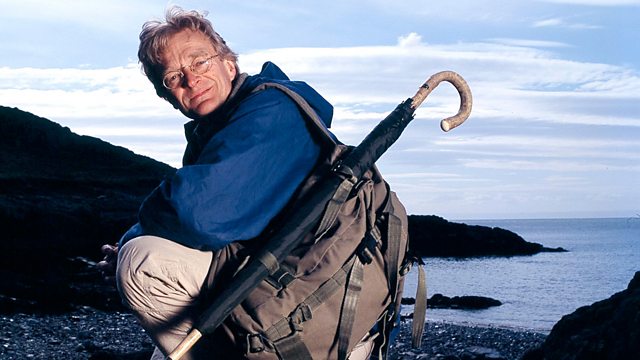
Nicholas Crane travels across British historical maps. In the 1740s, schoolmaster Murdoch Mackenzie used revolutionary ways to map the sea.
In the 1740s, at the time of the Jacobite rising, young Orkney schoolmaster Murdoch Mackenzie decided that the treacherous waters around Orkney should be properly mapped. Hundreds of ships had been lost in the Northern Passage, the stretch of water between the north coast of mainland Scotland and Orkney, and it was no longer good enough to have sketchy, inaccurate charts.
What Mackenzie soon discovered was that in order to map the sea, he needed to have an accurate map of the land. He used revolutionary methods setting up baselines on land, even on frozen lochs, and used triangulation along with the best instruments he could obtain.
Can Nicholas Crane get to grips with Mackenzie's methods and navigate his way through the wrecks of Scapa Flow?
Last on
Credits
| Role | Contributor |
|---|---|
| Presenter | Nicholas Crane |
| Director | Richard Maude |
| Executive Producer | Michael Waterhouse |
Broadcasts
- Sat 30 Mar 2013 11:30
- Sat 4 Oct 2014 10:55
- Fri 13 Feb 2015 13:15
